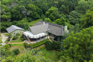
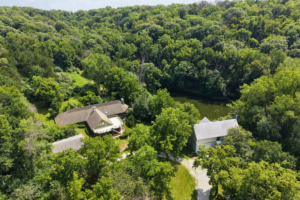
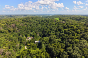
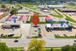
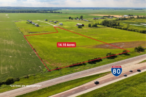
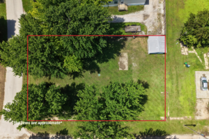
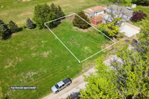
Aerial Photography and Videography for real estate listings. Some views and angles to highlight all aspects of a property can only be done from the sky.
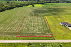
Approx. Lot lines can be added for easier viewing online.
2D Orthomosaic
Interactive 2D models for clients to interact with and explore a property. Adds a better top down view than pulling satellite imagery off of County websites.
Also allows clients to measure distances on the property.